Another storm reported to arrive this Weekend
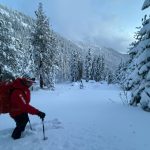
TAHOE BASIN, Calif./Nev. — A mixture of rain and snow is expected Wednesday and Thursday, with a possible break on Friday before another storm is set to move in over the weekend. A winter storm watch will go into effect from Friday at 4 p.m., with the possibility of strong winds. Here’s what to expect in the days ahead.
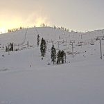
According to the National Weather Service, Saturday’s storm is expected to bring rain and snow at lake level, with the chance of snow above 6800 feet. Temperatures are expected to drop Saturday evening, with snow accumulation after 10 pm through Monday evening.
OpenSnow forecaster Bryan Allegretto said “Based on this morning’s model run average for precipitation and snow levels, we could see 6-11 inches of snow at the base by Monday night, mostly falling on Monday. We should see a big jump above 7000 ft. if we stay mostly all snow down to 7k’, with 22-28 inches of snow possible near mid-mountain, and 28-35 inches up top over the 3-day period.”


Support Local Journalism
Support Local Journalism
Readers around the Lake Tahoe Basin and beyond make the Tahoe Tribune's work possible. Your financial contribution supports our efforts to deliver quality, locally relevant journalism.
Now more than ever, your support is critical to help us keep our community informed about the evolving coronavirus pandemic and the impact it is having locally. Every contribution, however large or small, will make a difference.
Your donation will help us continue to cover COVID-19 and our other vital local news.