Flakes are flying: road conditions, overnight totals, avalanche report
Provided
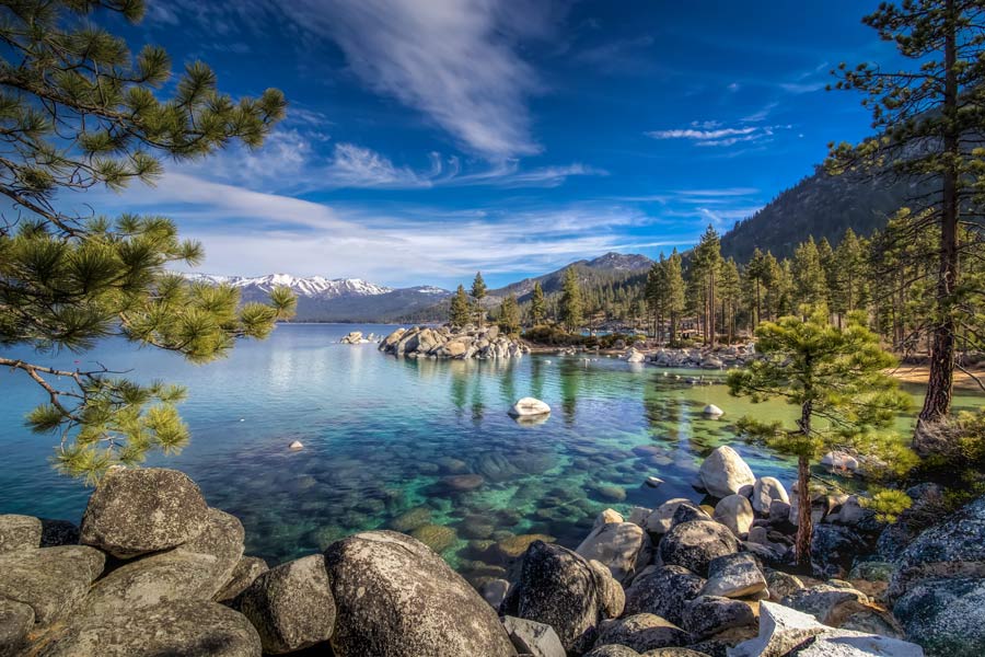
LAKE TAHOE, Nev./Calif. – What some are calling a Christmas miracle after a dry December, snow is falling in the Tahoe Basin. Here’s this morning’s report on the storm.
Overnight totals
The UC Berkeley Central Sierra Snow Lab measured 1.2 inches of snow Wednesday morning. That brings the 2-day total to 5.5 inches.
The lab reports heavy snowfall rates on radar, increasing snowfall predictions to 3-5 feet by late Thursday.
Road conditions
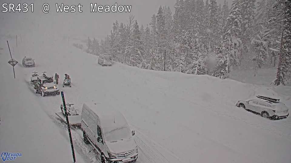
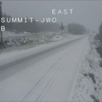
If you’re planning on traveling in the basin or over basin summits, bring chains or utilize the right vehicle. All major highways and roads in the Tahoe Basin currently have restrictions.
I-80
For eastbound traffic, chains are required on all vehicles except 4-wheel-drive vehicles with snow tires from Kingvale to Truckee.
For westbound vehicles, chains are required on all vehicles except 4-wheel-drive vehicles with snow tires from the Donner Lake Interchange to 4.7 mi west of Kingvale.
US 50
Chains are required on all vehicles except 4-wheel-drive vehicles with snow tires from Twin Bridges to Meyers and over Spooner Summit near Glenbrook to just west of Carson City.
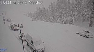
Mt. Rose Hwy./SR-431
Chains are required on all vehicles except 4-wheel drive with snow tires.
SR-28
Chains or snow tires are required from Secret Harbor Chain Up Area to Memorial Point Scenic Overlook.
Kingsbury Grade Road/SR-207
From US-50 to Dagget Pass Chain-Up Area, chains are required on all vehicles except 4-wheel drive with snow tires.
SR -89
From Picketts Jct. to Meyers, chains are required on all vehicles except 4-wheel-drive vehicles with snow tires.
Chains are also required on all vehicles except 4-wheel-drive vehicles with snow tires from Sugar Pine State Park to the Jct of I-80.
Monitor road conditions, visit quickmap.dot.ca.gov for California roads and nvroads.com/map for Nevada roads.
Avalanche report
An avalanche watch is in effect for the central Sierra Nevada. The Sierra Avalanche Center has ranked the area with a Level 3 or “considerable” danger on the North American Public Avalanche Danger Scale.
The center says to expect the avalanche danger to rise quickly as the storm impacts the area, and estimates the danger to become high on Thursday.
Unstable slabs of new snow will form first in wind-loaded areas and spread to sheltered terrain below the treeline as storm snow intensifies.
The center advises people to monitor the rapidly changing conditions, avoid steep slopes and recreate on lower-angle, non-avalanche terrain to reduce the risk of getting caught in an avalanche.
For more information, visit sierraavalanchecenter.org.


Support Local Journalism
Support Local Journalism
Readers around the Lake Tahoe Basin and beyond make the Tahoe Tribune's work possible. Your financial contribution supports our efforts to deliver quality, locally relevant journalism.
Now more than ever, your support is critical to help us keep our community informed about the evolving coronavirus pandemic and the impact it is having locally. Every contribution, however large or small, will make a difference.
Your donation will help us continue to cover COVID-19 and our other vital local news.