Tahoe weather outlook: Storm totals, sunshine and what’s next
Petra Molina / Sierra Sun
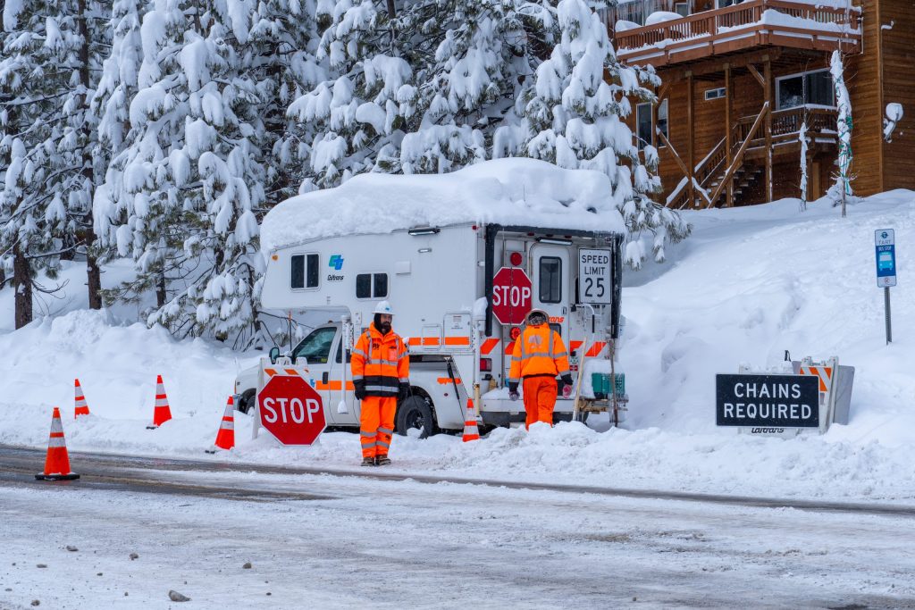
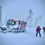
LAKE TAHOE BASIN, Calif. / Nev. – After the heaviest storm cycle of the season, the Lake Tahoe region is finally getting a brief break — though it won’t last long.
According to the National Weather Service, the pressure system that brought widespread snowfall is now moving east and away from the region.
Cold but Quiet Weekend
The primary concern over the next few days will be frigid temperatures. NWS forecasters say a weak upper-level ridge will settle over the region this weekend, bringing mostly dry but cold conditions, particularly during the morning hours.
Morning lows today and tomorrow are forecast to dip into the teens across western Nevada and northeast California, with single digits in the Tahoe Basin. Despite the frigid start, skies are expected to be partly sunny today.
NWS also warns that wind chills in the Sierra will be particularly bitter. Areas near the Sierra crest — especially along the Eastern Sierra and in the White Mountains — could see wind chills ranging from -10°F to -35°F this morning.
Conditions are expected to moderate slightly by Sunday as temperatures begin to warm. Western Nevada, northeast California, and the Tahoe Basin should see wind chills improve into the teens, while the highest elevations remain in the single digits.
The Next Storm
Forecasters are already tracking the next system.
“The next storm system appears to take a very leisurely track as it descends from the Gulf of Alaska toward the West Coast,” the National Weather Service said in its weather discussion. “The first wave approaches the area on Sunday, resulting in gusty winds for portions of northeast California.”
According to OpenSnow forecaster Bryan Allegretto, “The next round of storms could move in sometime Monday night and continue through next Wednesday, the 25th. These storms could bring more snow to the northern Sierra, heavy at times, and rain to the lower elevations.”
The National Weather Service is also forecasting a 20–50% chance of light rain and mountain snow showers above 6,000 feet in northeast California on Sunday and Monday. The upper-level low is expected to remain offshore before pushing through the Pacific Northwest and British Columbia from Monday night through Wednesday.
Meanwhile, the system is expected to draw an atmospheric river southward across the Sierra and into the Great Basin. Snow levels are projected to rise to around 7,000–8,000 feet, bringing accumulating snow to higher elevations and mostly rain below that threshold.
The combination of rain falling on top of fresh snow could lead to rising and fast-moving flows on rivers and creeks.
“Although it is too early to tell if we will see river flooding, we are uncertain about how much rain we will receive since it is still several days out,” the National Weather Service said. “Based on the accumulated snow over the past few days, this could lead to issues if there are no clear drainage paths in urban areas.”
After this system moves through, forecasters are calling for warmer and drier conditions, with only a low probability of another quick-moving system next weekend.
7-Day Snow Totals
Resorts across the Tahoe region have reported impressive snowfall totals over the past week:
- Diamond Peak: 74 inches
- Palisades Tahoe: 87 inches
- Mt. Rose Ski Tahoe: 55–66 inches
- Northstar California: 80 inches
- Sugar Bowl Resort: 103–111 inches
- Kirkwood Mountain Resort: 92 inches
- Heavenly Mountain Resort: 61 inches
- Tahoe Donner Downhill Ski Resort: 55 inches
- Boreal Mountain California: 91 inches
- Sierra-at-Tahoe: 56–91 inches
- Soda Springs Mountain Resort: 96–106 inches
- Homewood Mountain Resort: 67–98 inches
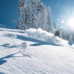
For powder seekers, the past week has delivered in a big way.


Support Local Journalism
Support Local Journalism
Readers around the Lake Tahoe Basin and beyond make the Tahoe Tribune's work possible. Your financial contribution supports our efforts to deliver quality, locally relevant journalism.
Now more than ever, your support is critical to help us keep our community informed about the evolving coronavirus pandemic and the impact it is having locally. Every contribution, however large or small, will make a difference.
Your donation will help us continue to cover COVID-19 and our other vital local news.