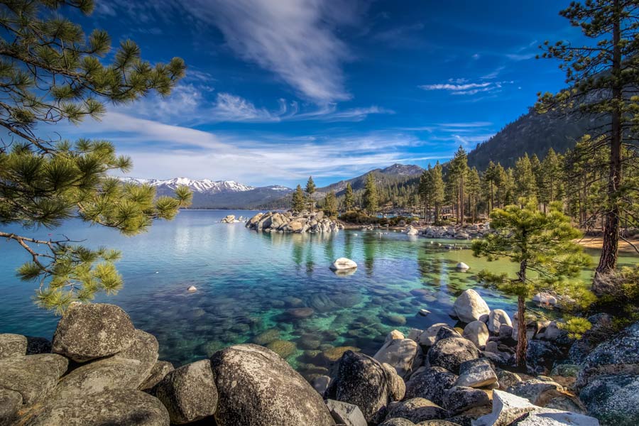
Cooler temps, possible peak dusting on tap for Tahoe next week

LAKE TAHOE, Calif./Nev. – Summer may be holding on in South Lake Tahoe, but a change is just around the corner. Through the first weekend of September, the Basin will stay in a familiar late-summer pattern of dry skies and mild afternoons.
By the middle of next week, though, a fall-like system is expected to shake things up. Forecasters at the National Weather Service- Reno are tracking a trough and low-pressure system moving into California around Wednesday, Sept. 10, ushering in much cooler air and the possibility of scattered showers.
Daytime highs are projected to tumble into the 50s at lower elevations and the 40s in higher terrain, with overnight lows running about 10 degrees colder than average. While it’s not quite cold enough for snow at lake level, the region’s tallest peaks could see their first light dusting of the season. According to OpenSnow, the snow line is expected near 9,000 feet — just low enough to give the highest ridges a touch of white if showers develop.
For now, the message is clear: enjoy these last warm days of summer, because next week will serve up a crisp reminder that fall is knocking at the Sierra’s door.


Support Local Journalism
Support Local Journalism
Readers around the Lake Tahoe Basin and beyond make the Tahoe Tribune's work possible. Your financial contribution supports our efforts to deliver quality, locally relevant journalism.
Now more than ever, your support is critical to help us keep our community informed about the evolving coronavirus pandemic and the impact it is having locally. Every contribution, however large or small, will make a difference.
Your donation will help us continue to cover COVID-19 and our other vital local news.